Contents: What Google had launched • Skid in a day • Why SynthID Was Not Enough • What it says Google withdrawal • The European calendar • What it changes for you • FAQ
📌 Essentials
- Launched on 30 July 2026, generator images Nano Banana 2 of Google Earth has been removed the next day.
- A source verification researcher produced credible false satellite views from genuine funds.
- Watermark SynthID was present, but it does not prevent the dissemination of a misleading image.
- Google refers to stronger safeguards before a possible return, without announced calendar.
It took a day. One. Google deployed on 30 July 2026 a generator in the web version of Google Earth, then turned off the 31st, after users showed that we could make with perfectly plausible fixed satellite views.
The episode is instructive, because it is not about a tool DIY by a small team. It is a function thought, documented, equipped with a homemade watermark, and driven by the company that has both the image model and the world map. She did not hold 48 hours in front of a single methodical researcher.
What Google launched on 30 July
The function was based on Nano Banana, Gemini's image model, in its second version. The principle: zoom into a real place in Google Earth, type in text, and get an image generated from the service's satellite, aerial and 3D data.
In his ticket announcement, Google highlighted five uses: viewing historical sites, producing infographics, designing real estate projects, previewing construction sites, and imaginatively transforming a place. There's nothing wrong with this list, but nothing alarming at first sight either.
Two safeguards were announced from the outset. The images produced did not appear in the experiment Google Earth shared with other users, and each visual was marked as generated by AI. On paper, the device stood. In fact, it was about the wrong risk.
How a researcher derailed the function in a day
Henk van Ess, of Digital Digiging, specializes in source verification. He did what an auditor does: look for the limit. And he found it fast.
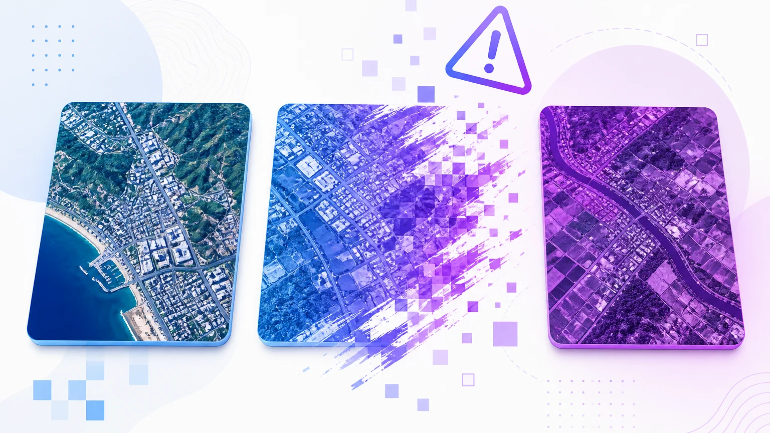
He produced a scene of refugees on the Mexican border. Then another one showing a bomb crater near a hospital in Gaza. The two images were made, but placed on authentic satellite backgrounds, with the real geography of the place below. It is precisely this mixture that makes them fearsome: the decor is true, only the event is false.
⚠️ Attention: Not all exits were misleading. The researcher also obtained a Sphinx merged with the Statue of Liberty, which no one would take seriously. The problem is not that tool produce anything, it also produces probable.
The difference with an image generated from scratch is there. A visual out of a generator Classic floats in the vacuum, without verifiable anchoring. An image built on a real satellite view inherits an exact geographical context, so a credibility that the observer has no reason to question.
Why SynthID Watermark Was Not Enough
Questioned, a spokesperson for Google replied that the company takes the misinformation very seriously, and recalled that every visual from Nano Banana embarks SynthID, a watermark inscribed in the pixels themselves. She recommended checking a suspicious image via the Gemini application or via Lens, with @verifyai.
The reasoning has a practical flaw. Watermark to answer the question « Is this image generated? » When someone sets it up. He does nothing against an image republished out of context, on a social network, in front of an audience that does not raise the question. Detection is a recourse, not a barrier.
Digital Digiging went further by cheating on the detector d AI from Hive with a video modified since Google Earth, despite the presence of the marking. In other words, even the remedy can give way. If you are interested in the subject, we have detailed what these tools in our comparison of the image detectors AI.
What Google said of withdrawal
Google updated its announcement post on July 31 to report the withdrawal of the function. The company invokes shared catches in violation of its usage rules, and indicates that it wants to put in place stronger safeguards before it is redeployed.
No timetable was communicated. The developer documentation of Google Earth For its part, keeps a page dedicated to the generation of images, which suggests that abandonment is not definitive.
We must recognize the speed of the reaction. Twenty-four hours between launch and withdrawal is short for a company of this size. However, the background question was not unpredictable: giving a generative brush to a real map background was mechanically creating a tool evidence.
A timing that falls just before the European deadline
The case comes two days away from a regulatory shift. Article 50 of the European Regulation on artificial intelligence requires suppliers of generative systems a technical marking, machine-readable, for any synthetic content. The obligation applies to new systems since 2 August 2026.
The negotiators of the so-called AI Omnibus agreement, however, postponed this deadline to 2 December for the tools already marketed before that date, without affecting the other transparency obligations of the same article. We have detailed what is changing in practice in our article on compulsory labelling of contents AI.
The case Google Earth illustrates the limit of this approach. SynthID is exactly the type of marking that the European text calls for, and it was in place. It did not prevent the production of misleading images, it would only have allowed to qualify them after the fact.
What it changes if you generate or check images
For a creator, the episode does not close any doors. The generators images remain available, and misuse that has caused scandal here, make a current scene on a real background, has nothing to do with normal creative or professional use.
💡 Tip: In front of a questionable aerial view, compare it to public satellite imagery such as Sentinel-2 or Landsat, and check the orbital data, date of shooting and original satellite. A manufactured image does not have a twin on these sources.
Three reflexes cover the majority of cases. The first is to go back to the source: an authentic news image almost always circulates with an author, agency or time stamp, and the total absence of provenance is already a signal. The second is the inverted image search, which reveals whether the visual previously existed in another form or context. The third, unique to aerial views, is to check the consistency of shadows with the announced hour and latitude, a classic examination in image analysis that the naked eye can conduct without tool particular.
For all others, the lesson is in one sentence: the background of an image counts as much as its subject. An implausible scene on an authentic decor is better than a credible scene on an invented scene. This is the reflex to acquire, and it also applies to the video, as we explain in our guide on the Video detectors AI.
🎯 Verdict
Google did not fail on the technique, the model works and the watermark was there. The error is to have thought that a marking was sufficient to cover a tool which sets fictional scenes on real maps. The 24-hour withdrawal is a good decision taken too late in the cycle: this risk was seen on paper before deployment.
Frequently Asked Questions
Is Nano Banana still available in Google Earth?
No. The function was launched on 30 July 2026 in the web version of Google Earth, then deactivated on July 31. Google indicates that it wants to strengthen its safeguards before a possible return, without having communicated a date.
Does Nano Banana remain accessible elsewhere?
Yes. The withdrawal concerns only integration in Google Earth. Gemini's image model remains accessible through the usual Google, regardless of this episode.
What is SynthID?
It is the digital watermark developed by Google, entered directly in the pixels of a generated image. It is designed to remain detectable after compression or slight modification, and allows to know a posteriori that a visual has been produced by a AI.
How to recognize a false satellite image?
Compare the view with other sources of satellite imagery such as Sentinel-2 or Landsat, and control the original orbital metadata, date and satellite. A manufactured scene does not appear on any other platform, while a real event is visible on several.
Does the watermark prevent misinformation?
No. It qualifies an image when someone seeks to verify it, but it does not prevent it from being disseminated outside of context to a public that does not perform this verification. Tests have even shown that a detector can be deceived despite the presence of the marking.
Why is a satellite view image more problematic?
Because she inherits an authentic geographical decor. The location, the relief and the buildings are accurate, only the event represented is invented, which makes the rigging much harder to spot than an image generated in its entirety.